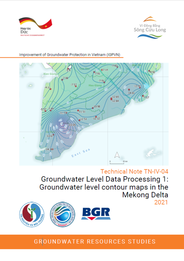
Groundwater Level Data Processing 1: Groundwater level contour maps in the Mekong Delta
- Version
- Download
- File Size 11.26 MB
- File Count 1
- Create Date 28/05/2021
- Last Updated 02.06.2026
Technical Note TN-IV-04
Groundwater Level Data Processing 1: Groundwater level contour maps in the Mekong Delta
2021
Groundwater level (GWL) measurements are the most common parameter for hydrogeological interpretations. GWL contour maps are valuable for the analysis of the state of the groundwater resources and give insight into groundwater flow directions, gradients, interactions between aquifers and regional differences in groundwater depletion. They are a useful tool for the delineation of groundwater protection zones and for the development of an effective groundwater monitoring of potential point source pollution. GWLs are also a criteria for the delineation of the restricted groundwater exploitation zones (Decree 167/2018/ND-CP).
The basis for this map series are the GWL data from groundwater monitoring wells in the 13 Mekong Delta provinces as recorded by the NAWAPI Groundwater Monitoring Network and 10 IGPVN wells at the end of the dry season on 30.04.2020. After quality control of data a total of 234 data points across the main six aquifers (qp3, qp2-3 , qp1, n22, n21, and n1 3) were compiled in QGIS and interpolated with ordinary kriging in SURFER with a grid resolution of 100 x 100 m.
The Technical Note TN-IV-09 provides a total of six contour maps for the main aquifers (qp3, qp2-3 , qp1, n22, n21, and n13) for 30.04.2020 and corresponding explanations.
Attached Files
| File | Action |
|---|---|
| TN-IV-04_GW Contour Maps_EN_comp.pdf | Download |