Workshop on Numerical Groundwater model for the Mekong Delta
On March 6, 2018, the National Center for Water Resources Planning and Investigation (NAWAPI) hosted a technical workshop to review the status of numerical groundwater models used to investigate and assess groundwater resources for the Mekong Delta.
Participants in the workshop included NAWAPI staff, experts from BGR (IGPVN project), experts from the Vietnam Association of Hydrogeology, experts from the ViWAT project and NJS project (Safe water supply in Mekong Delta).
According to Dr. Vu Thanh Tam (NAWAPI), many models of both surface water and groundwater have been built for the Mekong Delta in the framework of different themes and projects. Many of them are inaccessible and therefore, their practical application in investigation, assessment, planning and management of water resources is limited.
The GMS groundwater flow model for the Mekong Delta in Vietnam constructed by the Division of Water Resources Planning and Investigation for the South of Vietnam (DWRPIS) under the project “Assessing the impacts of climate change on groundwater resources in the Mekong Delta, proposing solutions” (2013), has been used for the assessment and prediction of groundwater resources. This model has been carefully reviewed and evaluated by BGR experts, including the conceptual model, model design, boundary conditions, and model calibration. At the same time, BGR experts provided a statistical analysis as well as plausibility checks for the model when used to forecast groundwater levels.

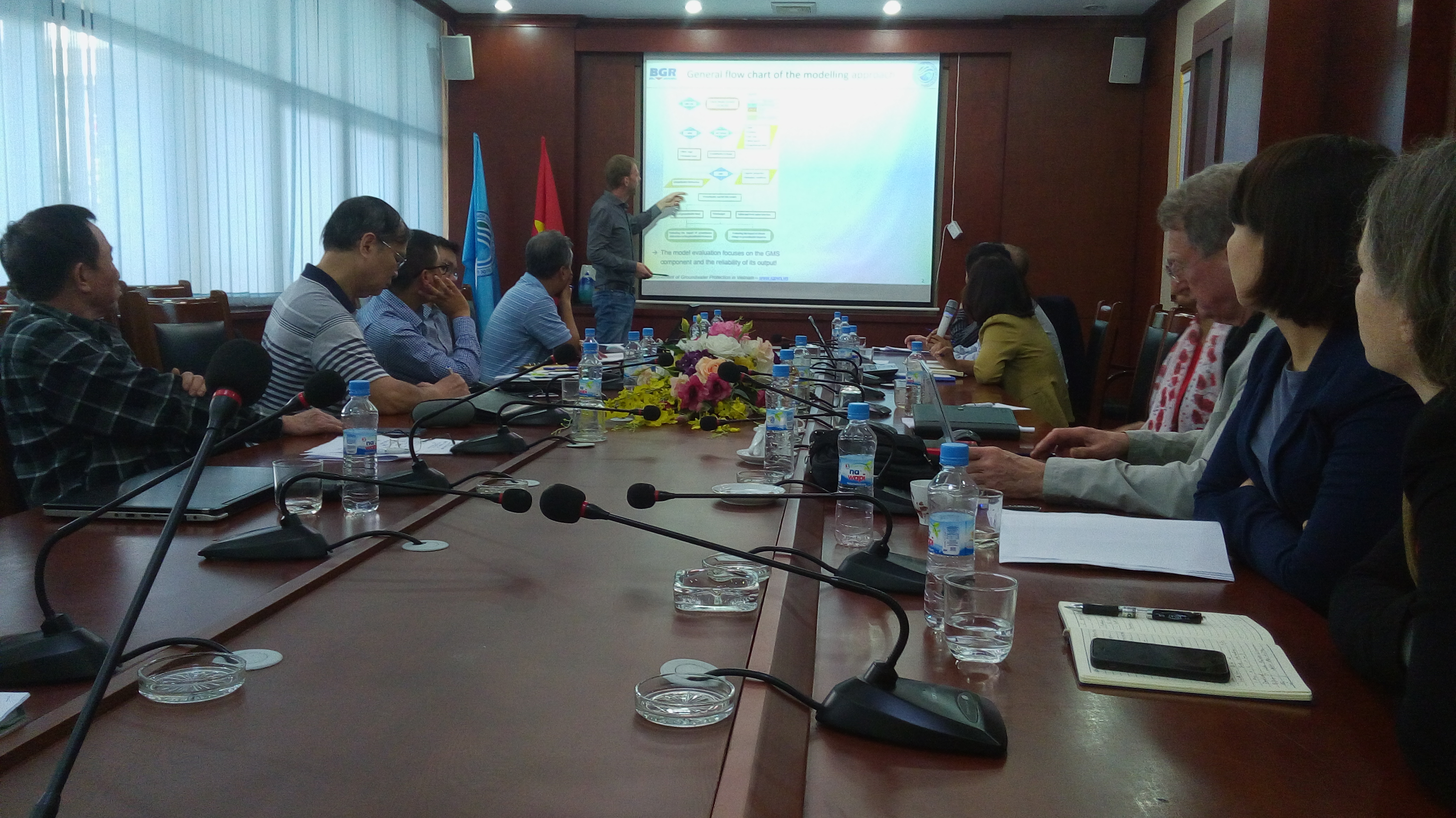
Dr. Armin Pechstein (BGR) presents the evaluation of the GMS groundwater flow model for the Mekong Delta
In cooperation with Mr. Dang Tran Trung (CEWAFO), IGPVN suggested several options to improve the GMS groundwater model, e.g., ; extending the model domain to adjust and redefine the model boundaries, and recalibrating the model with newly updated data for short-term predictions. Mr. Pham Van Hung, on behalf of the research team of Deltares (University of Utrecht, The Netherlands) introduced a recently developed groundwater model for the Mekong Delta which utilizes the iMOD software package. Besides groundwater flow, this groundwater model also considers modelling tools to simulate density-driven groundwater flow (saltwater intrusion), and land subsidence which may result from groundwater extraction.
Experts at the workshop highlighted issues that need to be addressed in future groundwater modelling, including the appropriate definition of boundary conditions, comprehensive input data (abstraction rate, groundwater recharge, groundwater levels) and their reliability, as well as, a conceptual model which reflects hydrogeological structures and hydrogeological parameters sufficiently. In this regard, this workshop provided relevant information to support NAWAPI in developing a numerical groundwater model that effectively meets future demands.

