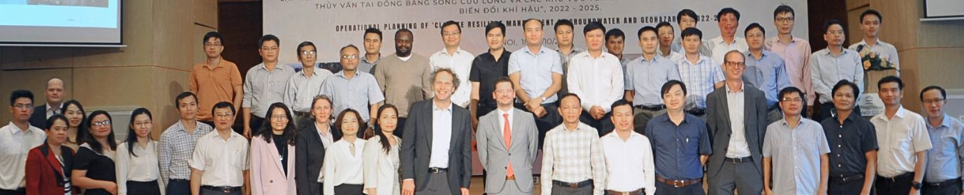
Seminar on Land subsidence monitoring for geohazard management in the Mekong Delta
The seminar on land subsidence in the Mekong Delta attracted the attention of as many as 36 participants from NAWAPI as well as Vietnamese and German universities.
CRMGG launched the three corner reflectors that were recently installed in cooperation with KIT at national groundwater monitoring stations in Hau Giang (Q607), Soc Trang (Q618) and Bac Lieu province (Q632) in this seminar. As CRMGG project is ending, it is hoped that this seminar also laid the foundation for a future cooperation between NAWAPI and KIT and other interested participants to maintain the site with regular geodetic measurements and make use of the InSAR data generated by the corner reflectors.
Dr. Nils Dörr showed how InSAR data could be processed and interpreted and gave valuable insights into different settling mechanisms of deeply founded bridges, newly constructed houses and seasonal subsidence pattern. He also showed how stable bridges and levelled corner reflectors could be integrated as common reference points to derive absolute land movement rates. While InSAR data and software is freely available, InSAR data processing requires a lot of memory space and RAM for processing.
Dr. Duong Thanh Trung highlighted the usefulness of static positioning of GNSS for monitoring of ground movements and the CORS station system that is already in place. The installation of low-tech GNSS modules at the corner reflector sites could be a next step and could provide high precision when combined with real-time kinematic positioning and selective network adjustment in post-processing.
Felix Dörr showed a number of results from the unique pilot site in Ca Mau, where depth-differentiated sediment compaction data are combined with groundwater level change from three aquifers, soil moisture and climate data. Highest compaction is observed for the top 16 m. It stagnates during the wet season, when groundwater heads are rising due to surface loading effects, and accelerates when groundwater heads are going down. Different subsidence dynamics were detected between the nearby road and the monitoring site.
During the discussion it was agreed that land subsidence is an interdisciplinary topic and the cooperation between hydrogeologist, remote sensing and geotechnical experts should be encouraged. Measurements of actual pore pressure changes in the aquitards and geotechnical compression experiments of core samples provide valuable information for understanding land subsidence dynamics.