Workshop introducing WebGIS on groundwater for the Mekong Delta provinces
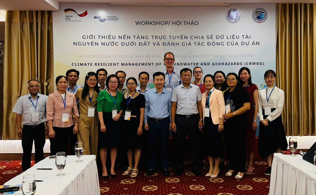
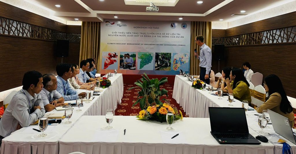
On December 6, 2024, at Muong Thanh Hotel in Can Tho City, the German Federal Institute for Geosciences and Natural Resources (BGR) coordinated with the National Center for Water Resources Planning and Investigation (NAWAPI) to organize a workshop introducing WebGIS on groundwater for the Mekong Delta provinces in combination with a survey of the impacts of the IGPVN/CRMGG Project.
Representatives of the DONRE of Ca Mau, Soc Trang, Bac Lieu and Hau Giang attended the workshop.

Mr. Andreas Renck, Head of the BGR Project Expert Team, highlighted the key issues for groundwater resources in the Mekong Delta and the challenges in groundwater management. Information and data for decision-making are always of primary concern. The idea of building a WebGIS online platform to share groundwater data among the Mekong Delta provinces was conceived and developed within the framework of the BGR Project in Vietnam. In 2024, a demo version of the WebGIS platform was directly deployed on the GIS Cloud application by a colleague from the BGR Hannover headquarters – M.S. Pernette Messager.

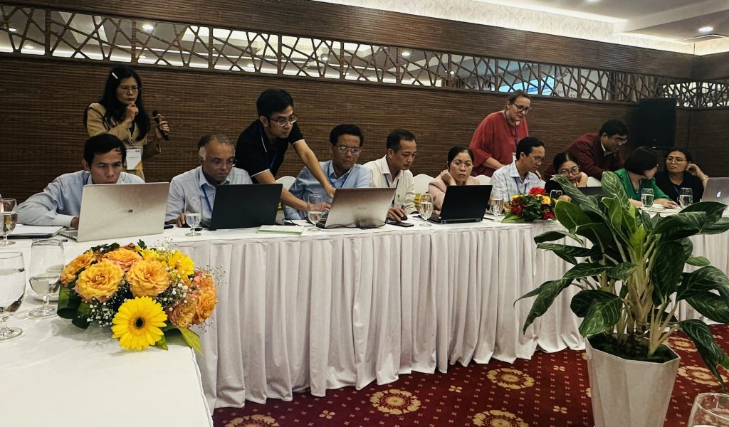
At the Workshop, M.S. Pernette presented on the GIS Cloud application, the demo CRMGG Map Portal and the information and data sources being shared on it. The features of the Map Portal were introduced by experts to delegates from the DONREs along with direct user experience. Delegates from the DONREs directly explored the interface and features of the Map Portal and performed some basic tasks.

The comments and suggestions of the delegates have been listened to and recorded by the Project team and will be helpful in adjusting and perfecting the WebGIS platform in the next step to better serve the management of groundwater in localities.

